3D Laser Scanners
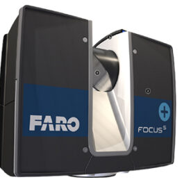
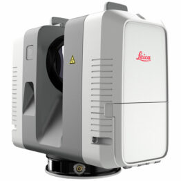
Our high definition 3D digital capture techniques gather a large amount of field information in a very short period of time. The process works by capturing a series of high definition 3D laser scans on site that can be processed immediately for analysis.
Falcon deploys a vast fleet of high speed laser scanners, capturing up to one million points per second, to deliver individual “spheres” of data. Each individual scan is a high resolution “laser-point” depiction of all line-of-sight objects. Adequate scans are collected from multiple locations to satisfy all desired perspective views. The scans are individually referenced to the plant coordinates with the help of our industrial survey methodology and software system called DIMES (Data Integrated Management Engineering System). These as-built high definition 3D data sets produce a virtual plant / facility environment that can be integrated directly with CAD systems (AutoCAD, MicroStation, CADWorx, AutoPlant, SmartPlant 3D, PDS, PDMS) to interrogate and clash check against new Design Models.
Elevations, measurements, coordinates, pipe diameters, and high definition photos can be extracted with the click of a mouse. Engineering groups can design directly within this data to ensure the elimination of clashes and interference. This is opposed to the conventional alternative of relying on existing drawings that are typically not up to date.
Showing all 3 results


