Training & Internship

At Falcon Geomatics, we offer flexible courses designed to suit your company’s needs and the professional development of your staff. surveyors and engineers TrainingWhether you use a simple distance measuring device or the most sophisticated integrated solution, Falcon Geomatics provide training by experienced and specialist staff.
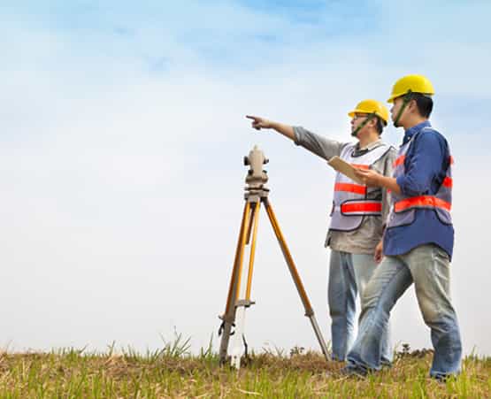
Training packages are designed for existing surveyors and engineers. A basic understanding of survey or setting out practices is required.

We offer different duration for the Training like, 1 Week/ 2 Weeks / 3 Weeks or as per your Requirements

The Main Subjects of the Training will be;

Mobile mapping

Mobile mapping is the process of collecting geospatial data from a mobile vehicle, typically fitted with a range of photographic, radar, laser, LiDAR or any number of remote sensing systems. Such systems are composed of an integrated array of time synchronised navigation sensors and imaging sensors mounted on a mobile platform. The primary output from such systems include GIS data, digital maps, and georeferenced images and video.

3D Laser Scanning Technologies

3D Laser Scanning is a non-contact, non-destructive technology that digitally captures the shape of physical objects using a line of laser light. 3D laser scanners create “point clouds” of data from the surface of an object.
 

Drone Mapping

Mapping with drones is done using a technique called Photogrammetry. Photogrammetry is the science of making measurements from Photographs. The output of this is normally a map, measurement or 3D model of a real-world object or scene. Many of the maps we use today are created using photogrammetry and images taken from aircraft.

GPR Training

3D Laser Scanning is a non-contact, non-destructive technology that digitally captures the shape of physical objects using a line of laser light. 3D laser scanners create “point clouds” of data from the surface of an object.
 

GPS & Total Station Training

3D Laser Scanning is a non-contact, non-destructive technology that digitally captures the shape of physical objects using a line of laser light. 3D laser scanners create “point clouds” of data from the surface of an object.
 

internships

Other 

Land Survey Instruments

Basic land surveying classes introduce students to survey instruments that collect positioning data for different plots of land. Students are exposed to boundary surveying, topographic surveying, drafting, remote sensing and geographic information systems. Students keep field notes, find common measurement errors, take accurate linear measurement and use instruments for determining elevations.

Subdivision Planning and Layout

This course trains students to design models of subdivisions complete with sewers, drainage systems and traffic circulation. They examine how an area’s topography influences the way these systems should be set up and learn ways to work with soil and earth safely. Course participants identify and fix problems with their models that could influence water safety or the flow of traffic. The lecture portion of this land survey course deals with codes and environmental considerations, which students must also incorporate into their models.

Land Survey Computation

Land surveyor classes in computation introduce students to the mathematical procedures involved in land surveys and construction. Students use scientific calculators to deal with field data and measurements. Topics for this intermediate-level class include computing distances, direction and elevations. More advanced students might learn traverse computations and curve stakeout computations.

Boundary Location

Students taking this course gain practical experience retracing boundary lines, using original boundaries, land parcels, global positioning systems (GPS) and water boundaries. Students learn about a landowner’s rights in terms of boundary disputes and the ethical responsibilities of surveyors when they create and maintain land boundaries. This course also examines the legal aspects of boundaries, including property descriptions, titles and liabilities.

Topographical Mapping

Topographical mapping classes introduce prospective land survey professionals to field sketching, plotting, traverses and planimetric maps, which indicate the horizontal position of features without noting their elevation. The principles of topographical mapping also include plotting cross sections, grading plans, photogrammetry (3D modeling of a scene) and mapping projections. These advanced land survey courses also teach students about gathering and analyzing field data through the use of GPS.

Next: View Schools