

GROUND PENETRATING RADARS
Ground penetrating radar for real time underground utility mapping
LEICA DS4000
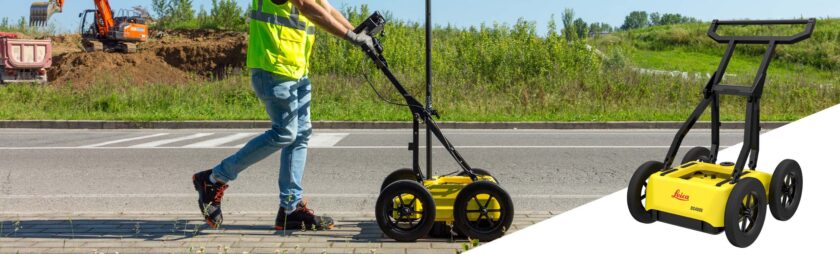
Beneath today’s urban environments exists a complex network of buried pipes, cables, and underground infrastructure. As cities continue to expand and underground spaces become increasingly crowded, reliable underground utility detection systems are critical for minimizing excavation risks and preventing costly damage before construction begins.
Powered by patented Equalized Scrambling Technology (EsT), the DS4000 delivers exceptionally clear detection of underground utilities at both shallow and greater depths. The system accurately identifies hidden hazards and challenging targets, including difficult-to-detect fibre optic cables and other buried assets.
Greater Visibility, Deeper Detection
The Leica DS4000 Utility Detection Radar offers significantly enhanced penetration depth compared to conventional GPR systems, detecting underground utilities up to 60% deeper. This advanced performance enables survey and construction teams to operate with greater safety, improved efficiency, and increased confidence on every project.
Accurate data and minimized project risk
The DS400 enables survey professionals to capture highly accurate underground data even in challenging and congested environments. Powered by patented EsT technology, the system delivers enhanced detection performance with an extended depth range for clearer identification of buried utilities and hidden infrastructure.
By improving underground visibility and detection accuracy, the DS4000 helps construction and utility teams minimize operational risks, prevent expensive excavation damages, and maintain project schedules with greater confidence and efficiency.
Simplify Your Underground detection workflow
Designed for efficient performance across demanding urban environments, the DS4000 features a compact, lightweight, and easy-to-deploy design that supports single-operator use for faster GPR scanning and underground utility detection.
The integrated “Quick Scan Mode” helps streamline field operations, reducing survey time and operational costs while improving productivity for construction, infrastructure, and utility mapping projects. Ideal for underground pipe and cable detection, the DS4000 delivers reliable Ground Penetrating Radar performance for utility scanning, subsurface imaging, and underground mapping applications in the UAE and beyond.
Unlimited data collection with simplified data management
The DS4000 integrates advanced software technologies to deliver efficient data collection, streamlined workflow management, and powerful underground utility analysis. Using the uMap field software, operators can perform fast and accurate GPR scanning with simplified on-site data acquisition and real-time project management.
For deeper interpretation and advanced subsurface analysis, the IQMaps post-processing software provides powerful tools for underground mapping, utility detection, and Ground Penetrating Radar data evaluation. Together, these solutions enhance productivity, improve survey accuracy, and support professional underground utility detection and geophysical survey applications.
DS 4000 Accessories
- External positioning support for mounting GPS/GNSS or Total Station
- Off-road wheels designed for reliable performance on challenging terrains
- Hard shipping box for safe transportation
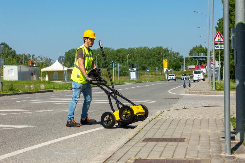
Lightweight (20 kg | 44 lb), modular and compact design for effortless data collection.
Foldable handlebar for easy deployment and storage of the system.
The height-adjustable antenna mounting system easily overcomes obstacles.
Hot swap technology for power supply enables uninterrupted data acquisition.
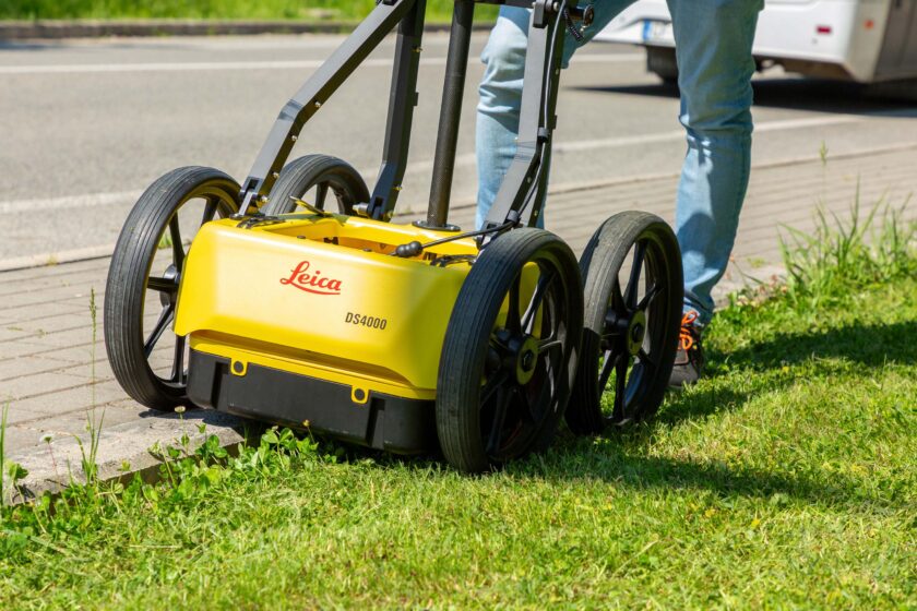
Key Benefits
See more and reach deeper with an extended detection range.
Easy detection workflow with the Quick Scan mode and on-site reports.
Real time on-site marking and digitalization of detected anomalies.
Optimal field performance with easy polarization switch (HH and VV) and hot swap technology for power supply.
Our Address
Dubai Office
Falcon Geomatics LLC
Ahammed Kamal Warehouse 6
Street 10C Ras al Khor Industrial 1, PO.Box.238544, Dubai,
United Arab Emirates

Abu Dhabi Office
Falcon Geomatics LLC – Abu Dhabi
Musaffah Industrial Area M40 Plot Number 6 & Building 3 First Floor, Office No. 11 & 12 Abu Dhabi
United Arab Emirates
Quick Contact
Copyright © 2026, Falcon Geomatics LLC – All Rights Reserved.